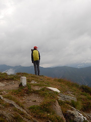
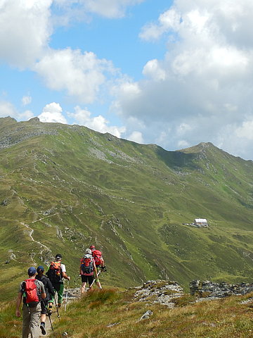
The 7 most beautiful hut hikes with peak victory in the Zillertal valley
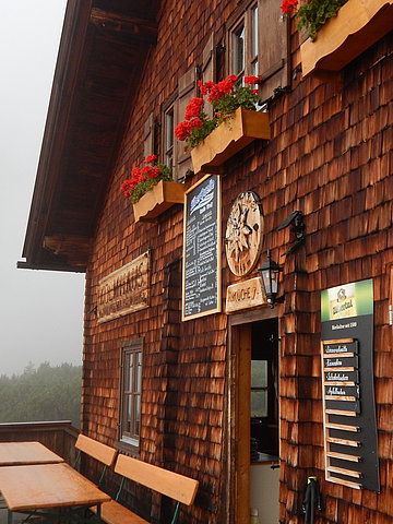
The perfect break on the mountain. There is no better way to reward yourself for a successful hike. A rest at one of the many wonderful mountain huts in the Tuxertal and the surrounding compensates for every effort. The location of the huts varies, from high above the tree line or on the edge of the mountain forest, to hidden in the middle of the mountains. Here you will find the quiet originality of the mountains far away from the hustle and bustle. But they all have one thing in common: They welcome you with traditional, hearty Tyrolean food to recharge your batteries for the rest of the way.

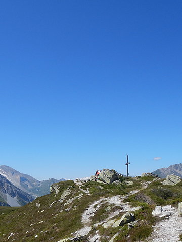
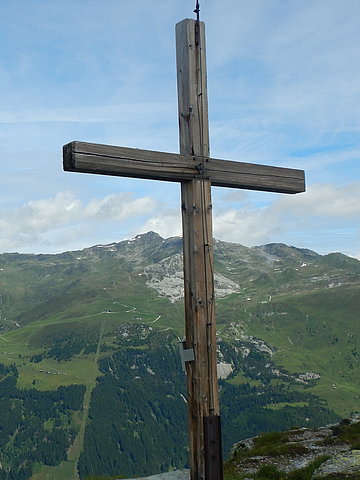
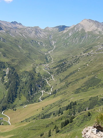
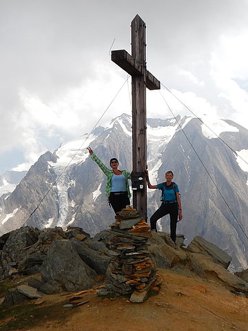
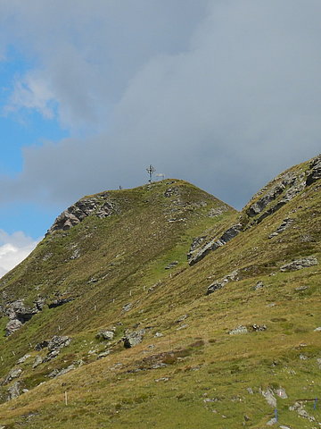
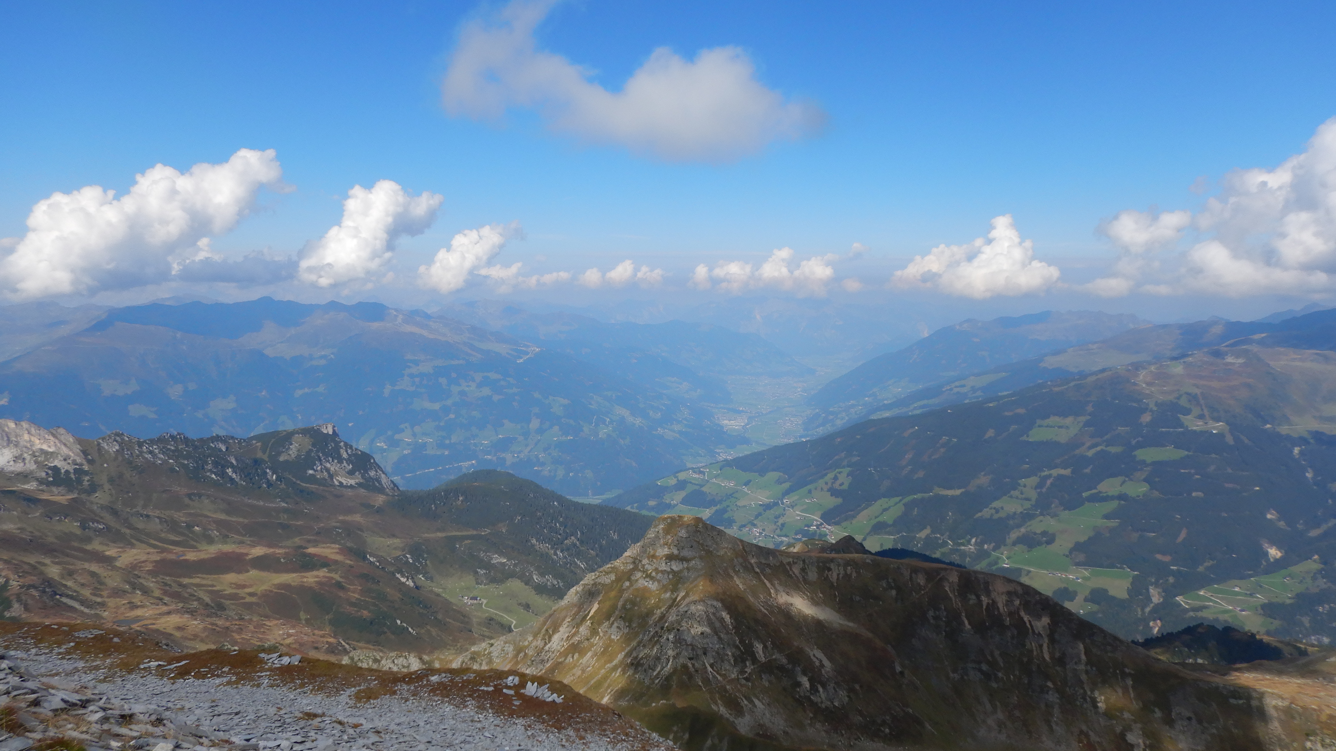
Grüblspitze (2.395m) - Brandalm
Starting point: Eggalmbahn mountain station
End point: Hotel Eden
Walking time: approx. 3.5 hours / approx. 8 km route
Ascent: 496hm Descent: 1,085hm
From the mountain station of the Eggalmbahn it takes about 1 hour to the Grüblspitze (2,395m). The descent is via the Brandalm directly back to the hotel.
Refreshment stop: Brandalm - if there is enough time, the typical Zillertaler "Melchermuas" is still prepared on the Brandalm according to an old recipe in the iron pan.
Tettensjoch (2,276m) – Höllensteinhütte
Starting and end point: Hotel Eden
Walking time: approx. 5 hours / approx. 12.5 km route
Ascent and descent: 954hm
The ascent starts from the hotel via Lanersbach to the Tettensjoch (2,276m), from where 15 mountain pastures can be seen. The way back leads directly to the hotel via the Höllensteinhütte.
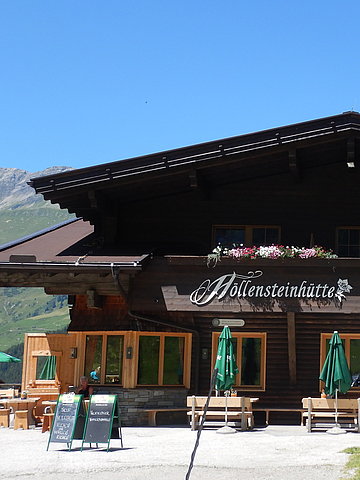
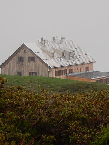
Refreshment stop:Höllensteinhütte – the Höllensteinhütte is dedicated to culinary delight. In addition to game dishes from their own hunt, there are also many fine wines on the wine menu.
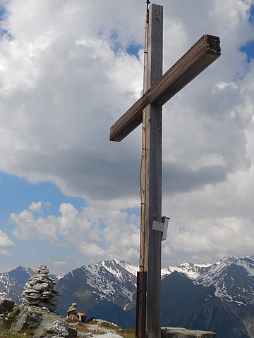
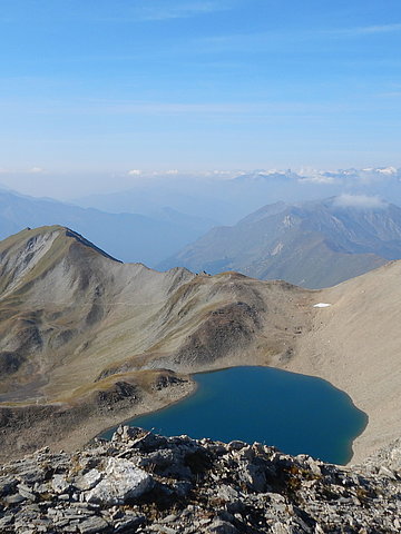
Geierspitze (2,857m) - Stoankasern
Starting point: Alpine cheese dairy Stoankasern
End point: Hotel Eden
Walking time: approx. 6.5 hours / approx. 16 km route
Ascent: 1,123m Descent: 1,756m
From the alpine cheese dairy Stoankasern the ascent leads past the crystal-clear Junssee to the Geierspitze (2,857m). The way back goes over the Junsjoch to Stoankasern and back to the Hotel Eden.
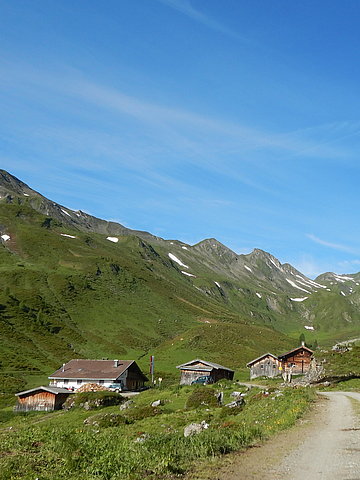
Refreshment stop:Jausenstation Stoankasern - in the morning you can watch how the dairyman makes cheese. Of course, the cheese can then be tasted at the snack station.
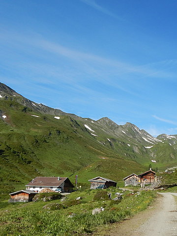
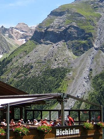
Frauenwand (2,541m) – Bichlalm
Starting point: Sommerbergalm
End point: Hintertux
Walking time: approx. 4.5 hours / approx. 12 km route
Ascent: 534hm Descent: 1,070hm
From the Sommerbergalm the path leads over the Kaserer Scharte to the Frauenwand (2,541m) and over the Tuxer-Joch-Haus through the Weitental, past the imposing Schleier waterfall to the Bichlalm and back to Hintertux.
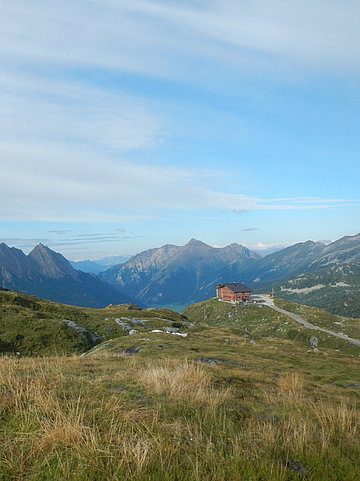
Refreshment stop: Bichlalm – you should definitely try the Kaiserschmarren on the Bichlalm. Best of all, of course, on the sun terrace with a fantastic view of the Hintertux Glacier.
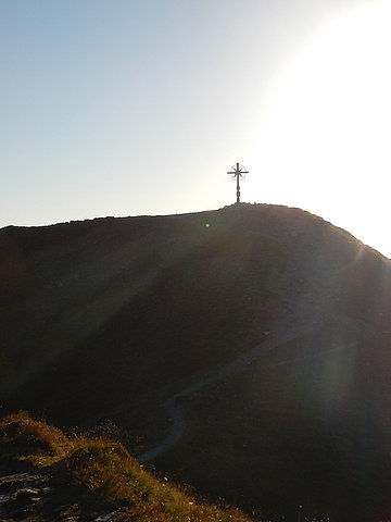
Rotbachlspitze (2,895m) - Pfitscherjochhaus
Starting and end point: Schlegeisspeicher car park
Walking time: approx. 8 hours / approx. 19 km route
Ascent and descent: 1,105m
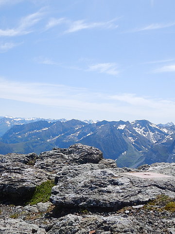
From the Schlegeis reservoir, the path leads over the Pfitscher Joch to the Rotbachlspitze (sure-footedness is required from the ridge). An incomparable panorama of the ice giants opens up. Descent on the same way.
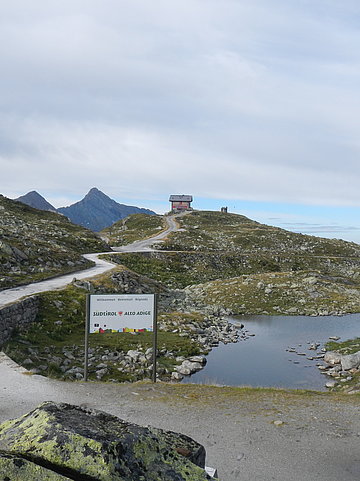
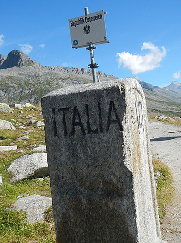
Refreshment stop: Pfitscherjochhaus - the Pfitscherjochhaus is located directly on the border between Austria and Italy and is the oldest private mountain hut in South Tyrol (since 1888). Surrounded by legendary mountains and 3000m peaks, it is definitely worth a visit.
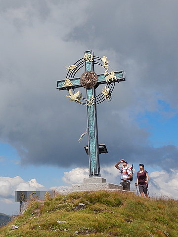
Kleiner Gilfert (2,388m) – Rastkogelhütte
Starting and end point: Melchboden snack bar
Walking time: approx. 5.5 hours / approx. 16 km route
Ascent and descent: 741hm
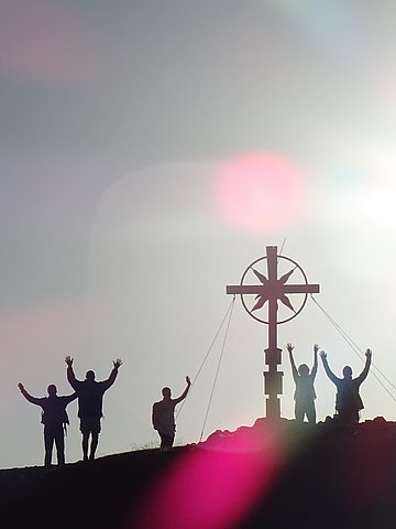
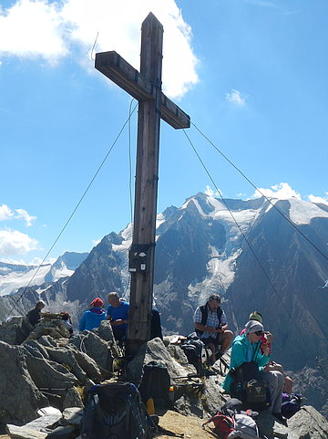
From the Melchboden snack station, the path leads directly to the Rastkogelhütte and across meadows and streams to the Kleiner Gilfert, where the "peace symbol" with all regions of the world awaits. The way back is the same way to the Rastkogelhütte and along the 3-summit hike back to Melchboden.
Refreshment stop: Rastkogelhütte - an insider tip at the Rastkogelhütte are the homemade cakes and strudel. You should definitely not miss this on the way back.
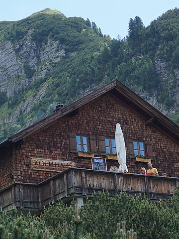
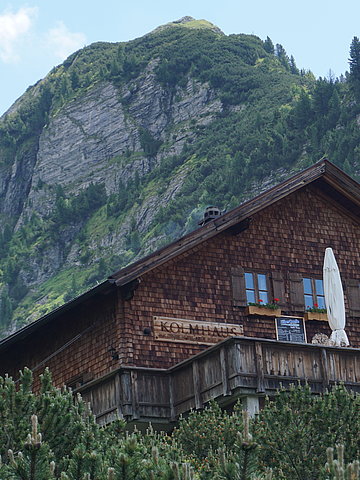
Torhelm (2.452m) - Kolmhaus
Starting and end point: Brandberg, GH Thanner
Walking time: approx. 6.5 hours / approx. 15 km route
Ascent and descent: 1,362 m altitude
From Brandberg, the partly steep ascent takes you past the Kolmhaus to the Torhelm (2,452m). The descent takes the same route to the Kolmhaus and via the Bergmäderweg back to Brandberg.
Refreshment stop: Kolmhaus- the diverse flora, with numerous rare and protected plants, around the Kolmhaus is particularly fascinating. A changing daily menu with local delicacies awaits you.